


$12,375
$10,000
23.8%For more information regarding the value of a property, please contact us for a free consultation.
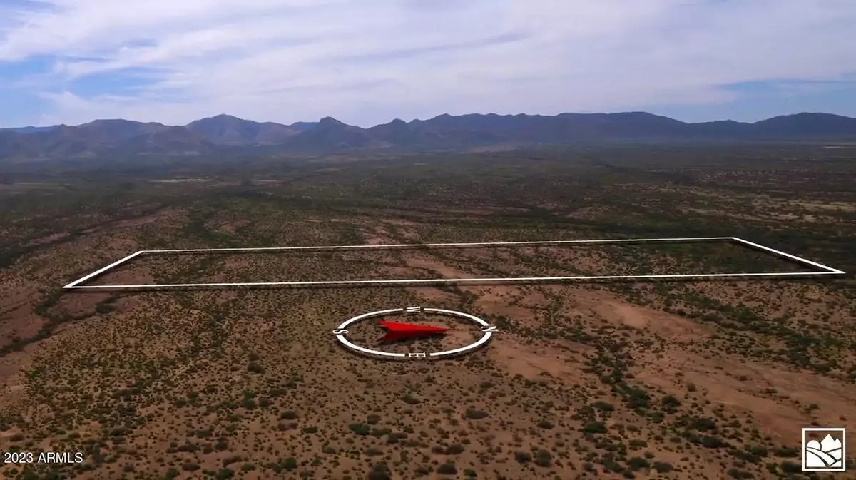
55.98 Acres Lot
SOLD DATE : 07/31/2023
Key Details
Sold Price $12,375
Property Type Vacant Land
Listing Status Sold
Purchase Type For Sale
Subdivision 56+/- Acres In Unincorporated Cochise County
MLS Listing ID 6566171
Sold Date 07/31/23
HOA Y/N No
Originating Board Arizona Regional Multiple Listing Service (ARMLS)
Annual Tax Amount $543
Tax Year 2022
Lot Size 55.979 Acres
Acres 55.98
Lot Dimensions 913 FT X 2669 FT
Property Description
ONLINE AUCTION OF 56+/- ACRES NEAR MCNEAL, AZ | $10,000 STARTING BID (ONLY $178/ACRE) AND SELLER FINANCING AVAILABLE! Don't miss this incredible opportunity to bid and buy beautiful land in southeastern Arizona! The property is flat and open with a stock well. Moderate climate ideal for an orchard, vineyard, or cattle ranch. Lots of possibilities such as building a ranch home, a weekend getaway with horses, or an RV/offroad camp. Bring the toys, live your dreams and make lasting memories. At 4,200+/- feet elevation, the summers are mild compared to Phoenix or Tucson, as are the winters. Discover and explore a beautiful part of Arizona with stunning mountain views, desert greenery, privacy galore and NO HOA! Click 'More...' for more information. Click 'More...' for more information. Explore the charming and historic nearby southeastern Arizona towns of McNeal, AZ (10+/- miles) or Tombstone (27+/- miles) and sample the local wineries. Copy and paste GPS Coordinates to GoogleMaps (31.540288706384725, --109.79190141701581). DIRECTIONS: from US Highway 190 and W. Davis Rd in MCNEAL, AZ, head West on Davis Rd to Frontier Rd (9.2 miles), South on Frontier Rd to Dusty Trail (5 miles), West on Dusty Trail to Bottle Brush (1 mile), then follow the map to the cattle pen located on the south end of the 56-acre property (Cochise Assessor Parcel # 103-17-007D).
Location
State AZ
County Cochise
Community 56+/- Acres In Unincorporated Cochise County
Zoning RU-4
Direction West on Davis Rd to Frontier Rd, south to Dusty Trail, to Bottle Brush, then follow the download map to the cattle pen located on the property. GPS Coordinates to the cattle pen: (31.5458, -109.7914)
Exterior
Waterfront No
Topography {\"Level\":true}
Building
Lot Description Mountain View(s)
Sewer None
Water None
Schools
School District Bisbee Unified District
Others
Senior Community No
Tax ID 103-17-007-D
Acceptable Financing Seller May Carry, CTL, Conventional
Horse Property Y
Horse Feature Corral(s)
Listing Terms Seller May Carry, CTL, Conventional
Financing Cash
Special Listing Condition Auction
Read Less Info
Want to know what your home might be worth? Contact us for a FREE valuation!

Our team is ready to help you sell your home for the highest possible price ASAP

Copyright 2024 Arizona Regional Multiple Listing Service, Inc. All rights reserved.
Bought with The Larsen Company Real Estate and Auctions
GET MORE INFORMATION
Broker Associate | License ID: BR533751000